
About This File
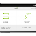
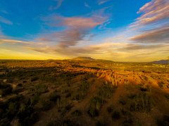
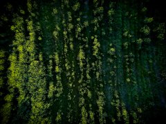
The Pix4Dmapper App allows you to map areas by defining various types of flights. You can select flight areas and height to create a fully automatic mapping flight, or fly the drone using the remote control: the App automatically calculates in real time when to acquire images to cover the area optimally, as well as enhance image attributes and characteristics. Once the images acquired, the App guides you on how to convert them automatically into orthomosaics, point clouds, elevation models, or textured 3D models, using Pix4Dmapper on a PC, on the cloud or in the near future also on a tablet and phone.
Why using Pix4Dmapper App
The most challenging part of UAV mapping is to take images in a specific way that ensures the best quality and accuracy possible for 2D maps and 3D models.
The Pix4Dmapper App enables you to take total control of a mission, including the camera. This takes away the difficult part of mapping and makes for an easy yet accurate tool for professionals.
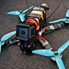
Watch the video to see what you can achieve with a DJI Phantom and Pix4Dmapper.


Recommended Comments
There are no comments to display.
Join the conversation
You can post now and register later. If you have an account, sign in now to post with your account.
Note: Your post will require moderator approval before it will be visible.